Noxious Weed Control Assistance Program
More noxious weeds invade our state every year damaging our valuable natural lands, reducing wildlife habitat, clogging waterways, increasing fire risk, and reducing the quality of recreational experiences.
Because the weeds of your backyard can become the problem in open space areas, the state provides funding to assist public and private land owners in reducing noxious weeds to a more manageable level. The Summit Cooperative Weed Management Area (Summit CWMA) has been awarded 5 competitive grants from the Utah State Department of Agriculture and Food (UDAF) to map and treat noxious weeds in our community. These are our funded species that we can help with:
Help us contain the spread of these high-priority invasive plants by participating in our county-wide management effort.
Your Role In Weed Control
- Learn how to identify these noxious weeds.
- Pull any flowering garlic mustard plants prior to our herbicide treatment (if able).
- Monitor, pull, and bag or treat with herbicide any missed or newly germinated plants 2-3 weeks after treatment and throughout the growing season (May to November). Infested areas must be monitored and controlled for 10 years to deplete the seed source.
- Educate and promote control of these weeds with neighbors and community groups.
- Look for Free Training Sessions coming in April & June.
How To Sign Up
If you have any of the above noxious weeds on your property and would like your property treated free of charge by licensed contractors, submit the form below.
**To get on the schedule early, please sign and submit the consent form by May 15th, 2024.**
Forms submitted after May 15th will be considered and added to the schedule as funding and time allows. Please submit a separate consent form for each lot that you own. Your personal information will not be shared with anyone.
**Please note that funding is limited** and priority for treatment will be given first to public open space and public properties and to private properties adjacent or connected to public open space and public properties by recreational or wild game trails (See Priority Map). If you are not in the priority areas on the map, help may still be available, but the chances of funding to extend that far is less likely). Signing up for the program does not guarantee treatment, we will treat as much as funding and time allow.
Explore The Map To Understand How Locations Are Prioritized For Treatment
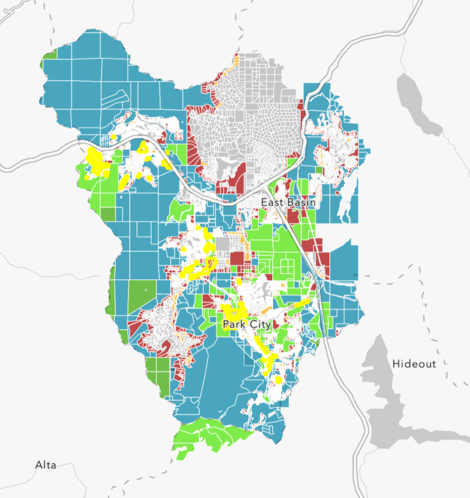
While we’d love to help every Summit County resident with noxious weed control, funding and resources are limited. Accordingly, priority for treatment is based on proximity to open space and treatment history.
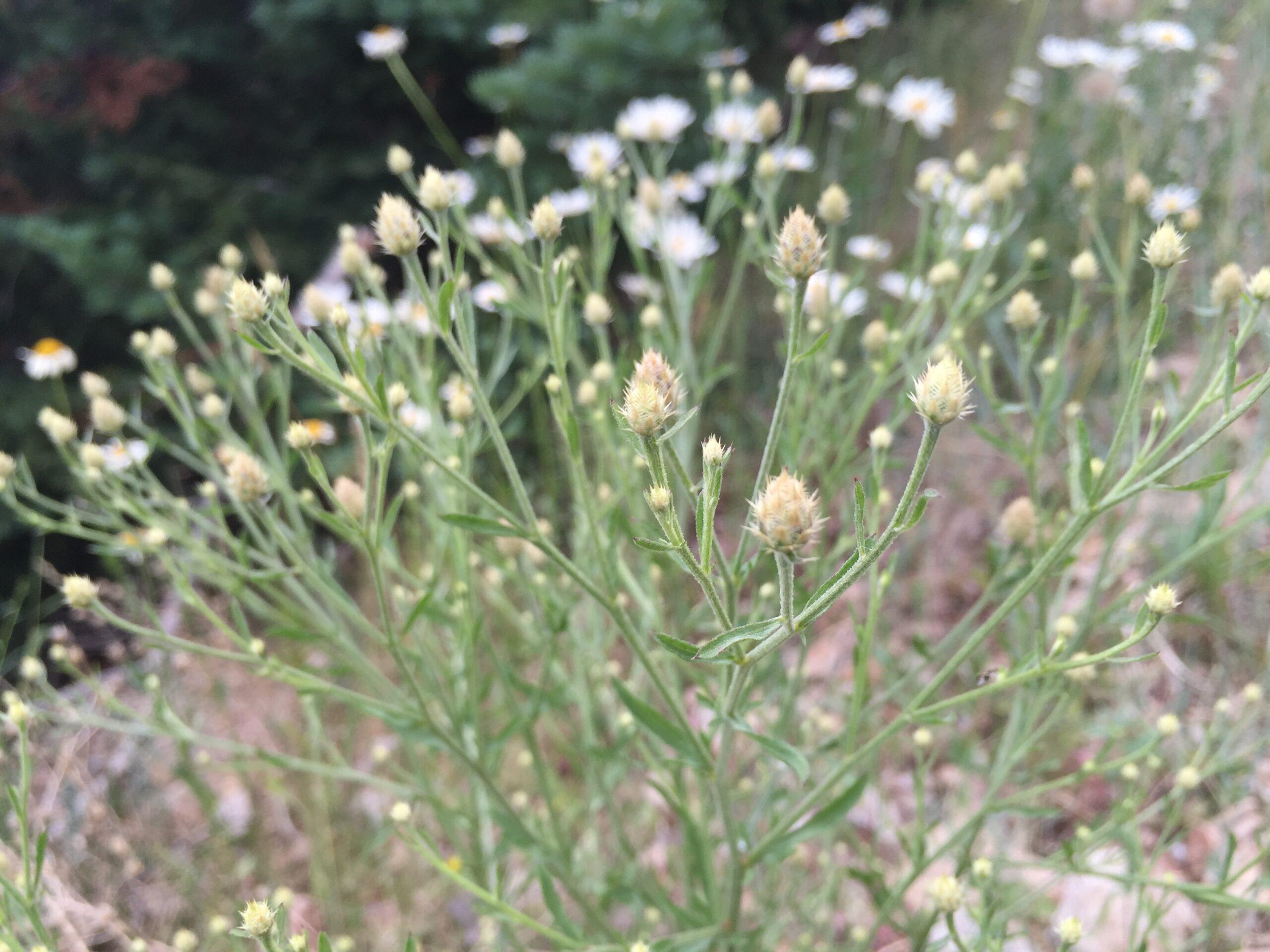
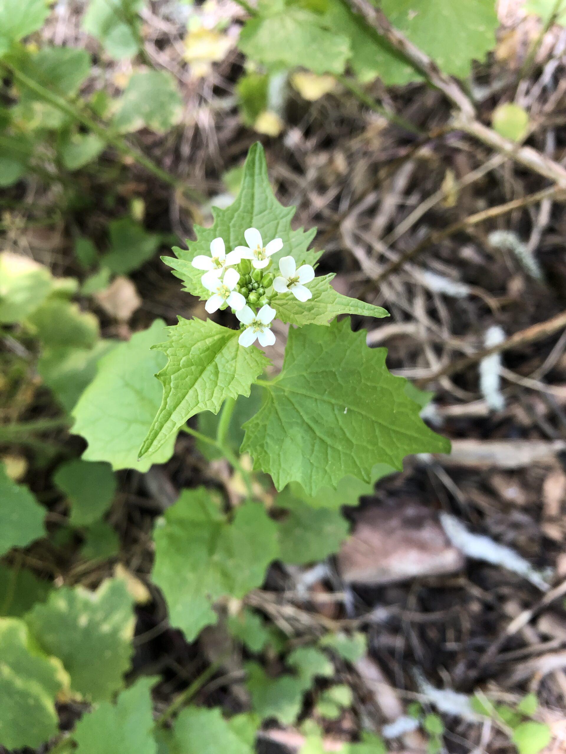
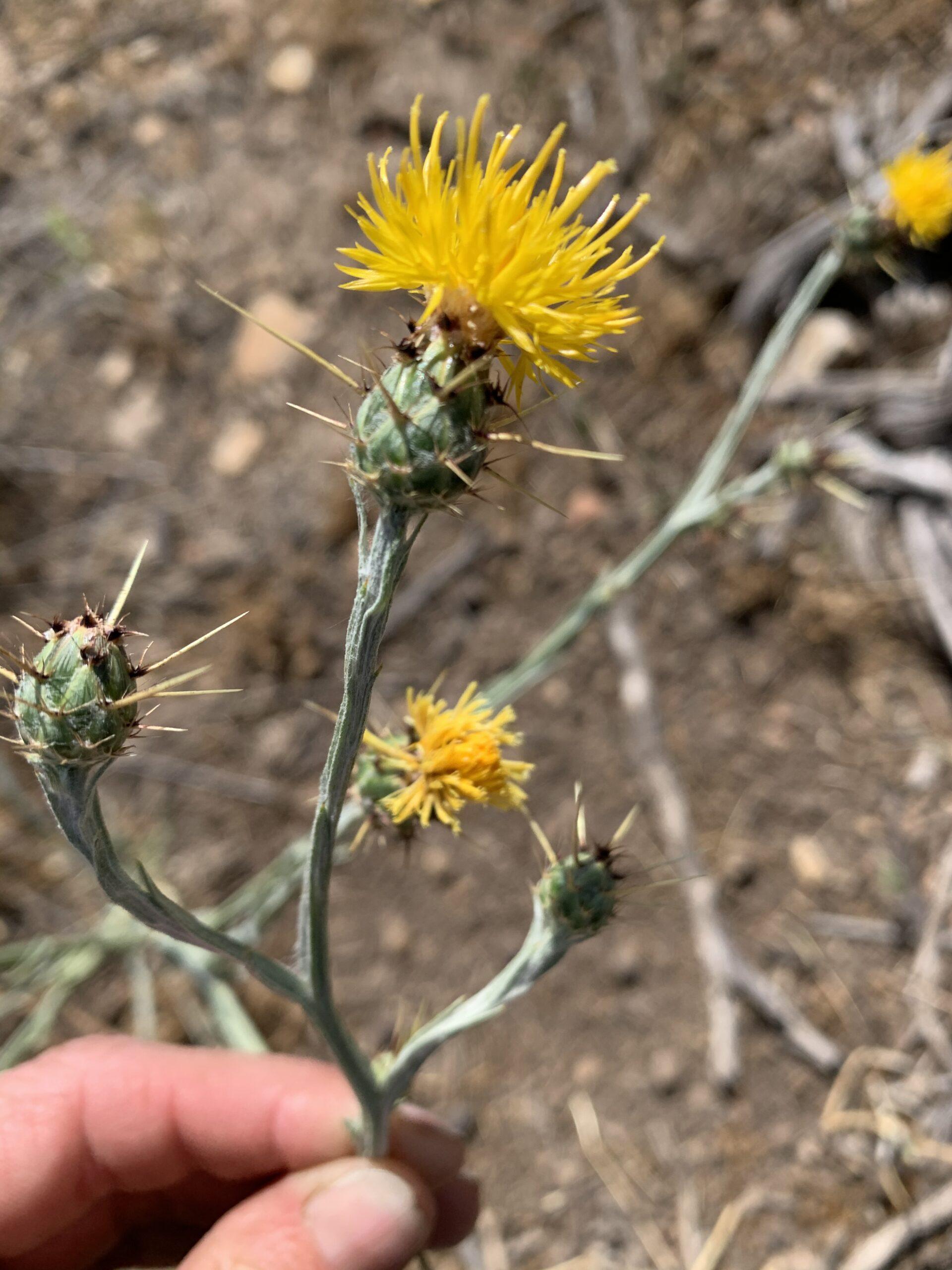
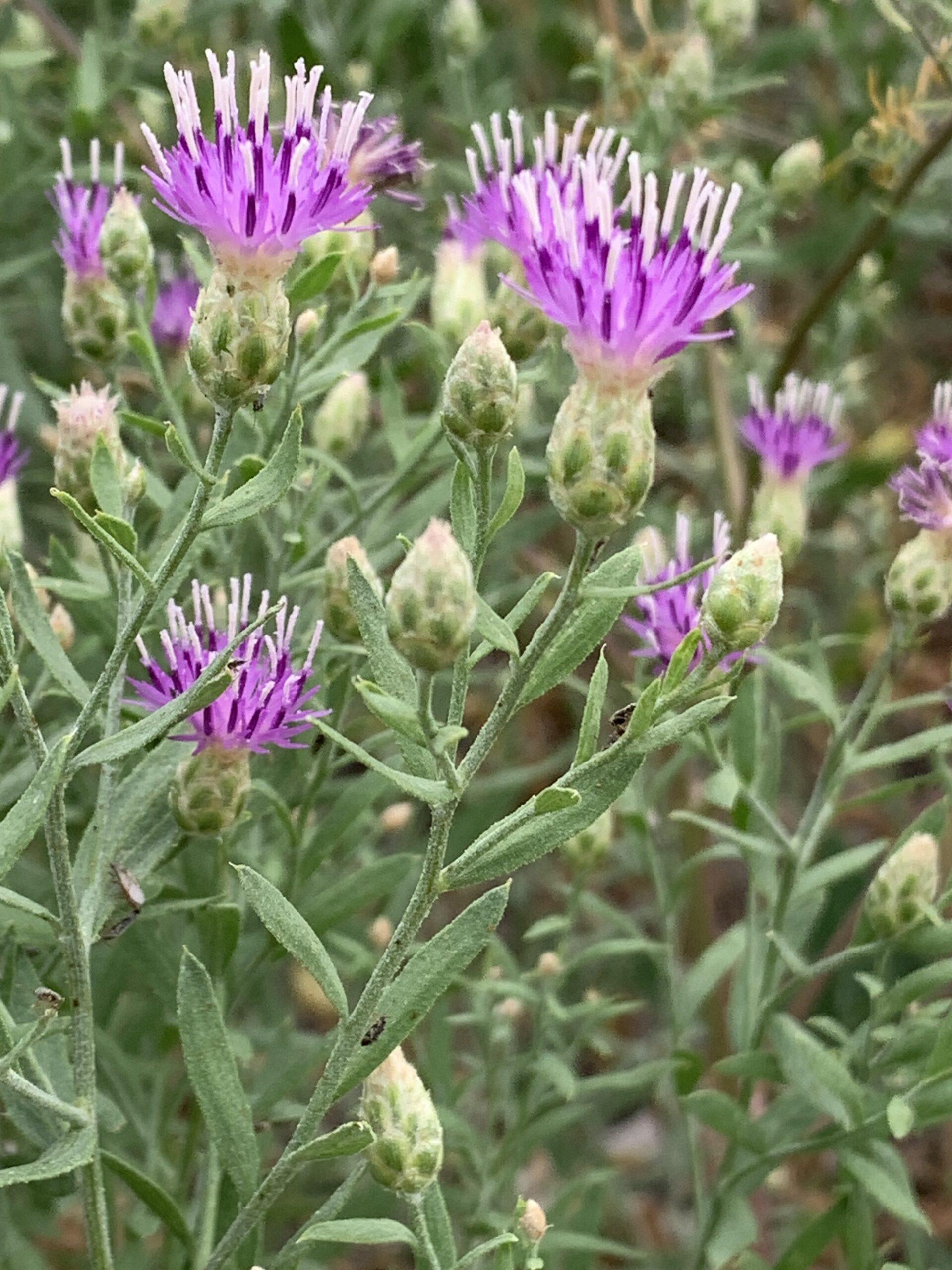
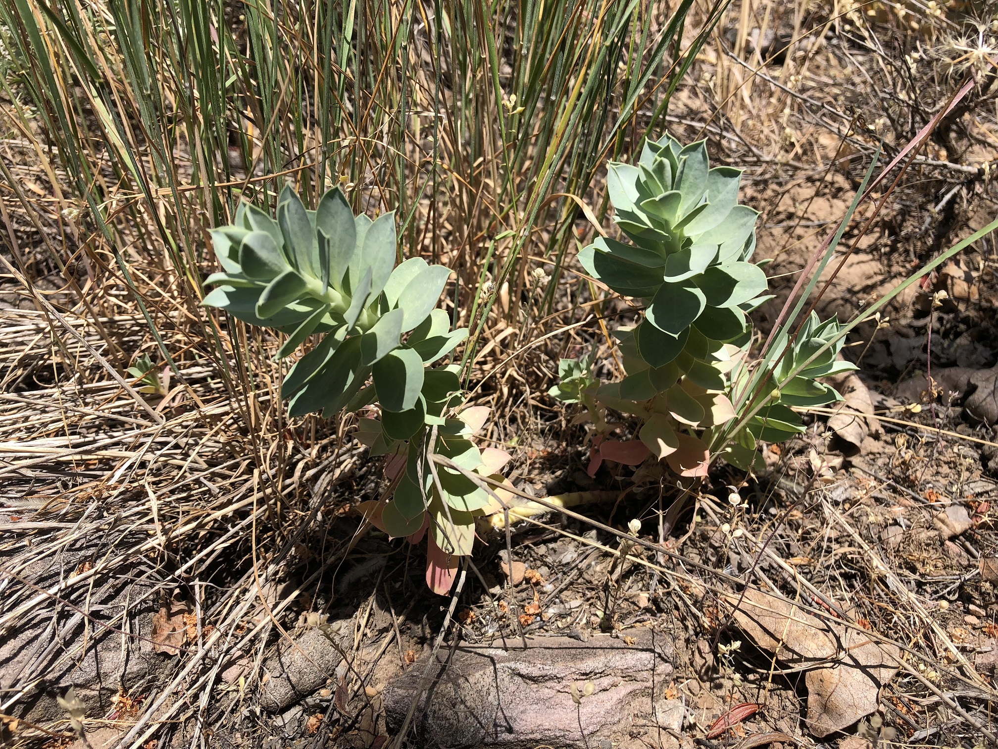
Proximity to open space: Natural areas are our first priority for treatment. Treating noxious weeds in federal, state, local, and privately-owned open space protects natural resources, supports native plants, pollinators, and wildlife, and preserves local ecosystem structure and function. Once these areas are accounted for, treatment moves to the parcels bordering or adjacent to open space. This strategy creates a boundary between developed and natural areas and prevents weeds from invading wildlands.
On the map, green and blue parcels signify open space, red indicates high-priority parcels bordering open space, and orange highlights third-priority parcels. If your parcel is drawn in gray, we may run out of funding before we can treat your property. We encourage all landowners and land managers to actively contribute to weed control efforts on their properties; this is especially true for owners of low-priority parcels.
Treatment History: individual properties, groups of parcels, and neighborhoods with a significant history of treatment are also considered high priority for treatment. Significant progress in has been made in controlling and – in some cases – eradicating noxious weed populations on parcels treated for five seasons or more. To avoid losing ground in these areas, parcels with significant treatment histories (> 5 years of treatment) and adjacent properties are prioritized.
Parcels outlined and highlighted (partially or fully) in yellow are considered treatment priorities – equivalent to red and orange parcels – based on treatment histories of 5 years or more.
Map navigation: write your address into the search bar to zoom in your property and check its priority status. Also, scroll around the map to understand our treatment strategy; clicking on a parcel will display its rank. This map only spans Park City and Snyderville Basin; however, land owners and managers living in other sections of Summit County OR neighboring counties can still sign up for and receive treatment!
For help with other noxious weed species, contact David Bingham, Summit County Weed Superintendent, at dbingham@summitcounty.org.
Questions?
Contact: Sara Jo Dickens
Summit Cooperative Weed Management Area
Cell: 303-549-2089
Email: jo@ecologybridge.com
Thank you to our funders!
Summit CWMA
Sara Jo Dickens
Project Manager
info@SummitCWMA.org
Summit County Weed Division
David Bingham
Weed Superintendent
dbingham@summitcounty.org
Dan Pena
Weed Enforcement Officer
dpena@summitcounty.org